
World Maps
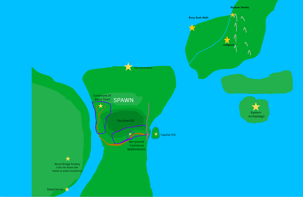
Session 1 world map made by Timmy. This was the final map made after numerous additions, including one by Treeman that added the landmass in the northwest (which is presumably the southwest part of the continent based on later info)
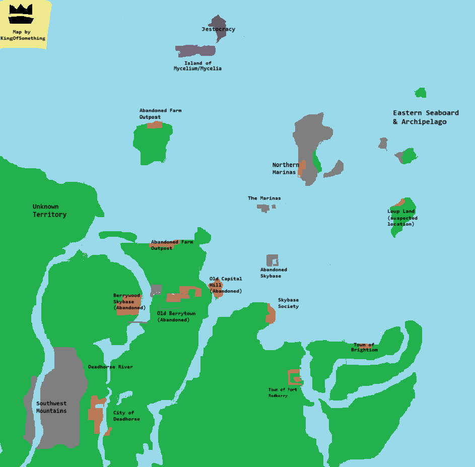
Session 3 world map by KingOfSomething. The landmasses in this map are much more accurate, and many civilizations that were unmarked before were for the first time mapped.
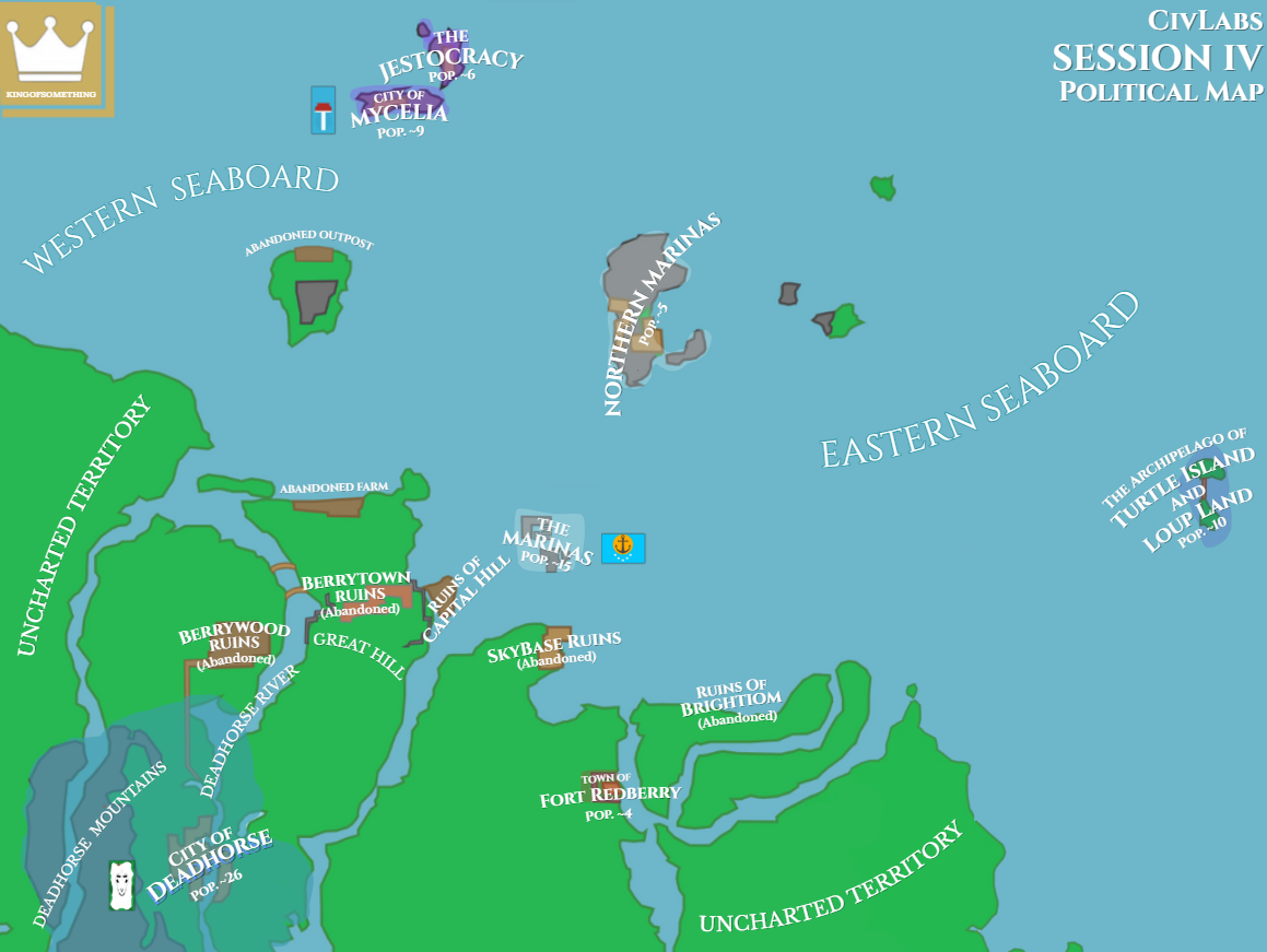
Map of session 4 by KingOfSomething. First map to include every nation (other than the Skylands, for they have kept their location secret), and include flags.
Map of session 4 by Nim.i on Discord.
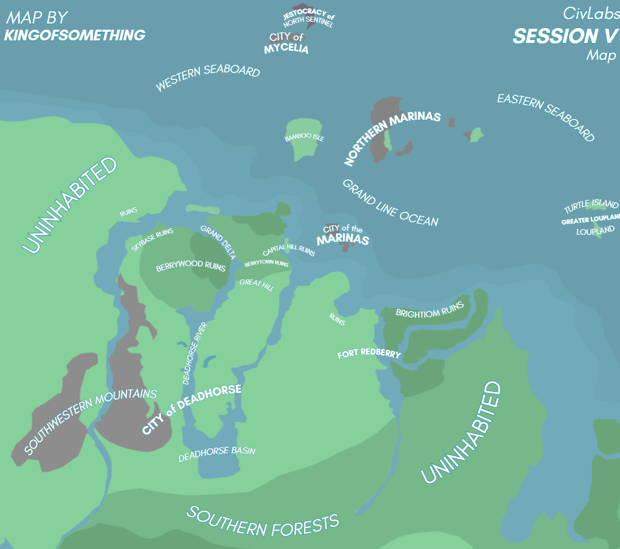
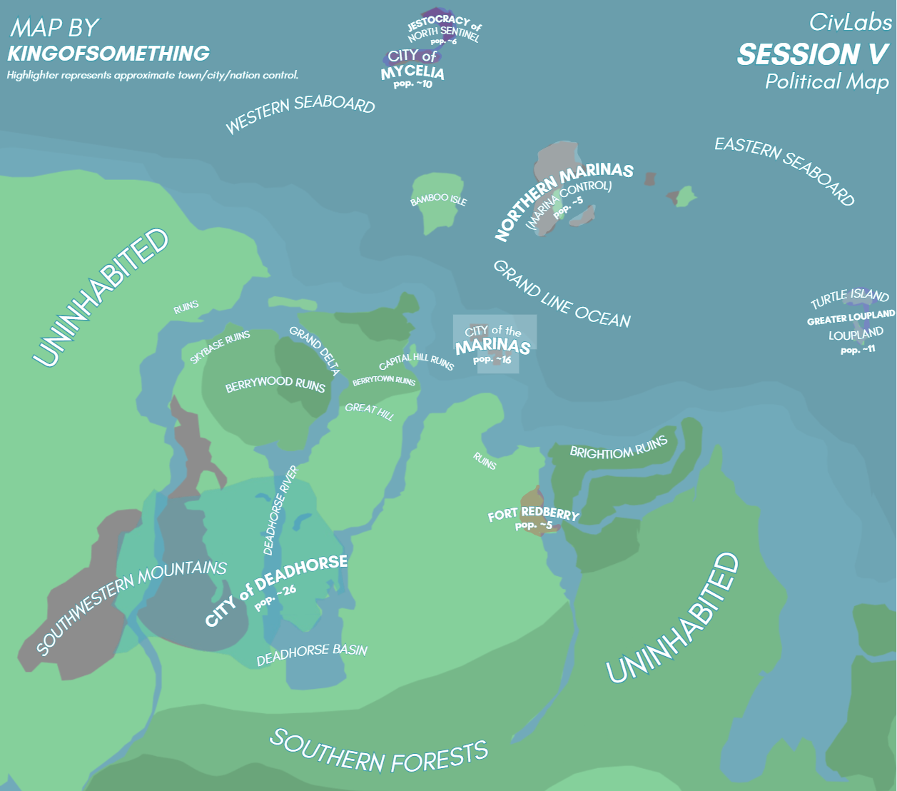
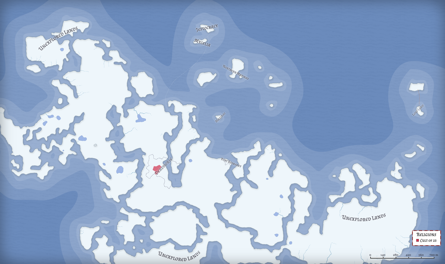
Political and Geographic map of session 5 by KingOfSomething
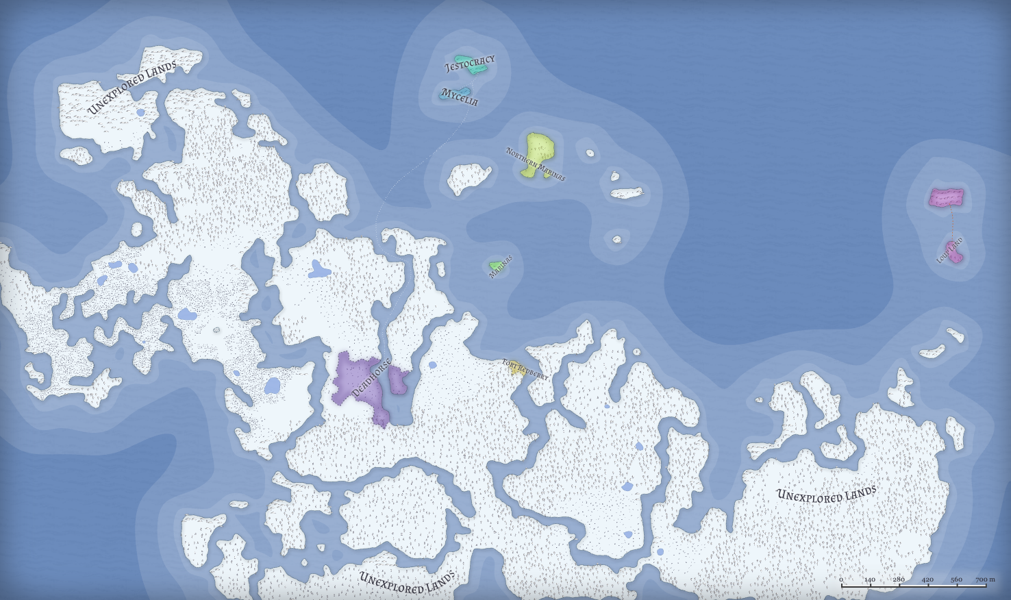
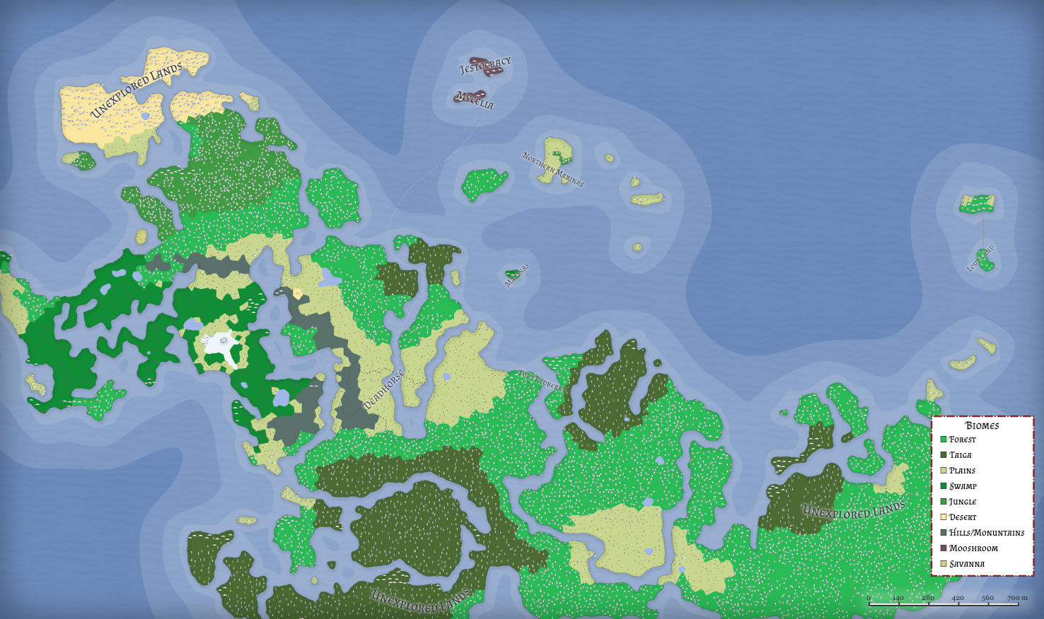
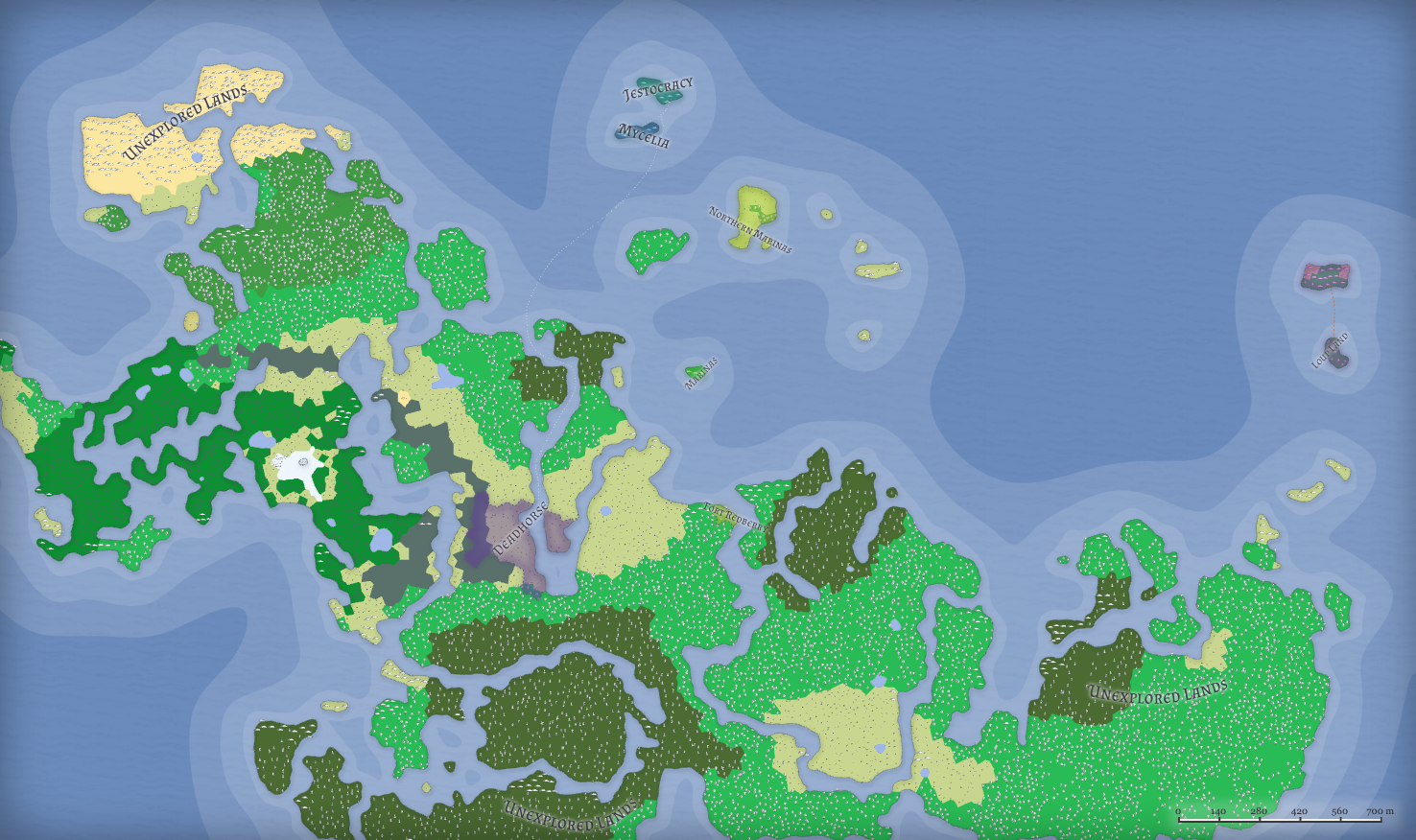
Several maps of Session 5 made by discord user Nim.i detailing, in order from top to bottom, political borders, biomes, religions, and a combined political borders/biomes map.
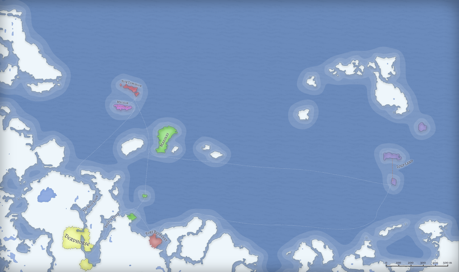
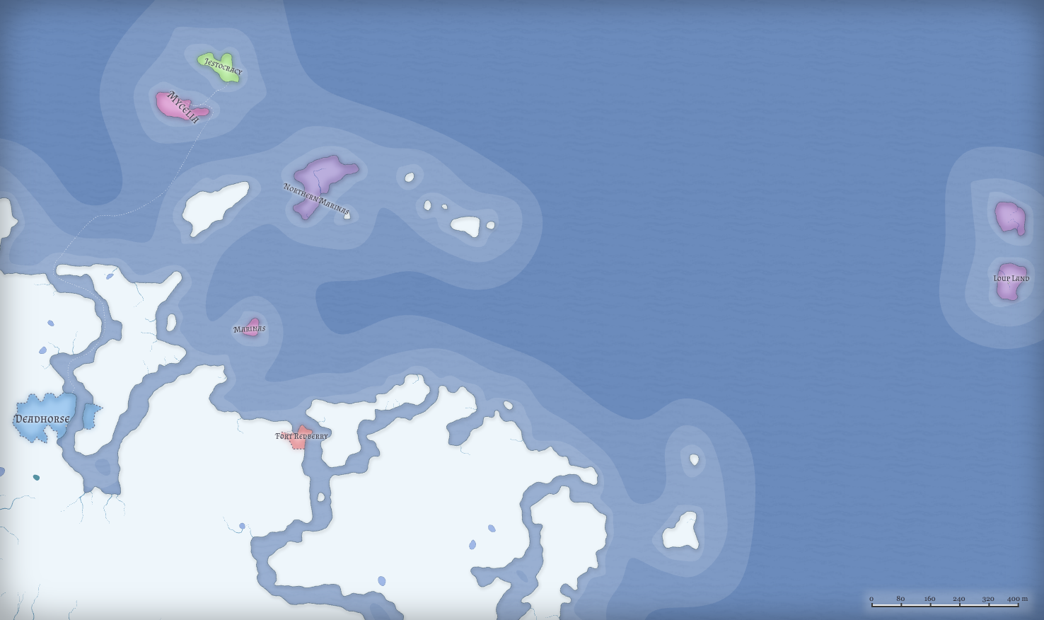
Updated map by Nim.i after session 7, with more accurate distances between nations and the addition of loupland.